You are viewing 1 post with the tag Montgomery County Planning Commission
Circuit Exploration Report: Checking out the CVT in Montgomery County

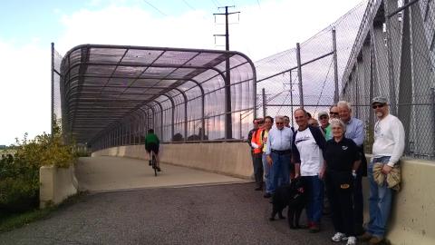

For most people, the caged bike/ped bridge over I-76 (as seen in the photo slide show) in King of Prussia is the closest they have ever gotten to the Chester Valley Trail (CVT) in Montgomery County.
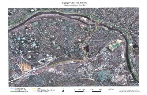
The bridge opened in 2004 when the I-76 and 202 interchange was upgraded. (The other trail bridge is Norfolk Southern's Trenton Cutoff.) And, slowly but surely, the Chester Valley Trail has been built to the west to meet Chester County's 13 miles of trail and in hopefully in two years, will extend eastward to meet up directly with the Schuylkill River Trail in Norristown.
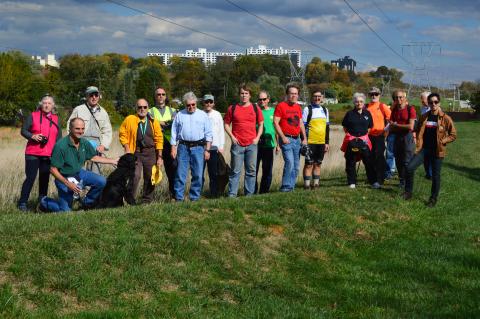
Currently, in Montgomery County, the eastern edge of the CVT is South Gulph Road and the westen end is at South Warner Road. As part of our "Explore the Circuit" series of rides and walks, on October 18th, about twenty of us joined Mike Stokes, Assistant Director of the Montgomery County Planning Commission to see how the county was going to align the Chester Valley Trail eastward to the SRT.
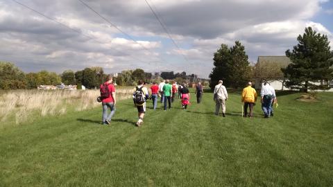
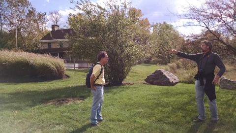
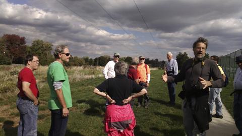
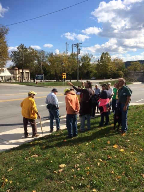
We set out on a beautiful windy afternoon from the S. Warner Road trailhead (nice parking lot with toilet facilities) and walked east, over the expressway to South Gulph Road. We then crossed over to Bill Smith (a former Supervisor) Boulevard and took a look at the historic King of Prussia Inn (which was moved years ago from its original location.) Afterwards, we walked through the (hugely wide) PECO right of way that the trail will go through and then along Hansen Access Road. Fortuitously, we had among our group a SETPA planner who told us that one of four possible alignments for the KOP trolley extension might also use the PECO ROW, but it won't interfere with the trail. At the junction of Hanson Access Road and Henderson Road, the trail will go over Henderson Road on second bike/ped bridge and land on an inactive rail line. The trail will continue up this old rail line and eventually meet up at DeKalb Street and cross the Schuylkill River on the DeKalb Bridge where it will meet with Schuylkill River Trail at the Norristown Transportation Center.
It was a lovely walk and everyone enjoyed learning more about this much anticipated connection between two Circuit trunk trails. Montco hopes to advertise the project in 2015 and estimates that the project will take one year to complete. The Bicycle Coalition hopes to return next spring and host another walk of the section from Henderson Road to Norristown. Many thanks to Mike Stokes for sharing his deep knowledge of the project, the map below and some of his photos.